
file:India Rajasthan location map.svg

Size of this PNG preview of this SVG file: 715 × 599 pixels. Duusra resolutions: 286 × 240 pixels | 573 × 480 pixels | 916 × 768 pixels | 1,222 × 1,024 pixels | 2,444 × 2,048 pixels | 1,093 × 916 pixels.
Original file (SVG file, naam kare ke khatir 1,093 × 916 pixels, file size: 511 KB)
Sanchhipt me
| Baare me |
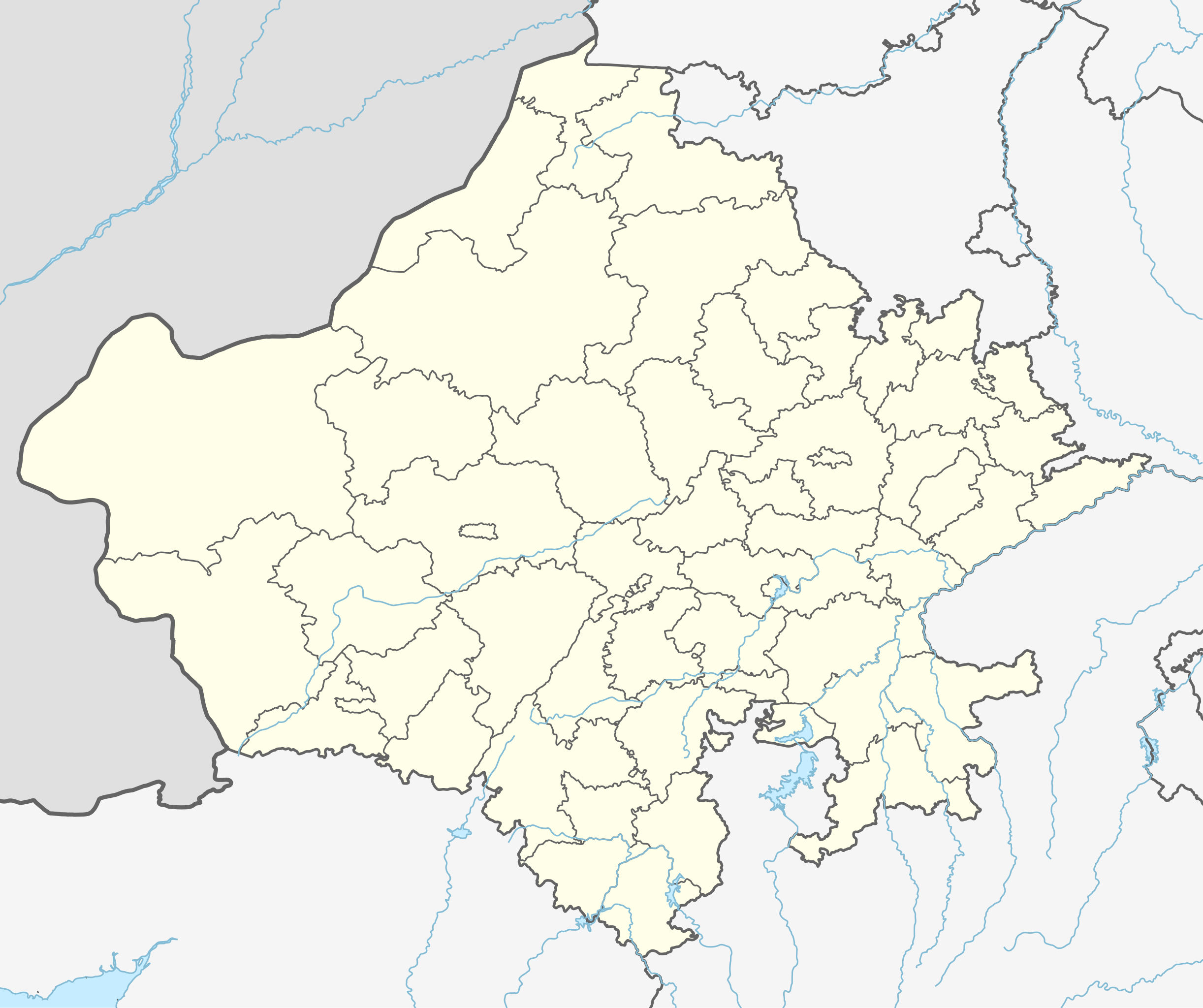
Location map of Rajasthan. Geographic limits of the map:
|
| Taarik | |
| Source | |
| Likhe waala |
|
Licence ke baare me
I, the copyright holder of this work, hereby publish it under the following license:
ii file ke Creative Commons Attribution-Share Alike 3.0 Unported license ke niche licence karaa gais hai.
- You are free:
- share kare ke khaatir – to copy, distribute and transmit the work
- to remix – to adapt the work
- II condition ke niiche:
- attribution – Aap ke thiik credit de ke chaahi, licence pe jorr de ke chaahi, aur badlao ke dekhae ke chaahi. Aap iske koi reasonable manner me kare saktaa hai lekin aise nai ki lage ki licensor aap ke, nai to aap ke kaam ke endorse kre hai
- share alike – Agar aap milaata hai, badaltaa hai, nai to material pe jorrtaa hai, tab aap ke aapan yogdaan ke same or compatible license ke niche baate kare kae chaaahi.
File ke itihaas
File ke dekhe khatir, jaise uu time dekhe me lagat rahaa, date/time pe click karo.
| Din/Time | Chhota chapa | Lambai aur chaurai | Sadasya | Tiprrin | |
|---|---|---|---|---|---|
| abhi waala | 18:07, 28 Saptambar 2023 | | 1,093 × 916 (511 KB) | C1MM | Added new districts |
| 02:22, 27 Farwari 2023 |  | 1,051 × 880 (320 KB) | C1MM | fixed Churu district | |
| 05:36, 31 Mai 2021 |  | 1,059 × 887 (363 KB) | C1MM | Fixed Bundi dist | |
| 05:10, 31 Mai 2021 |  | 1,059 × 887 (364 KB) | C1MM | Corrected rivers and dist boundaries | |
| 05:03, 18 Disambar 2020 |  | 770 × 645 (750 KB) | C1MM | Fixed rivers | |
| 17:41, 24 Actobar 2020 |  | 770 × 645 (756 KB) | C1MM | Changed indus | |
| 02:53, 30 Juun 2020 |  | 770 × 645 (753 KB) | C1MM | Relayered | |
| 15:12, 27 Aprel 2020 |  | 604 × 528 (202 KB) | C1MM | Added rivers | |
| 19:01, 5 Julai 2014 |  | 604 × 528 (127 KB) | Milenioscuro | User created page with UploadWizard |
File ke kaise kaam me lawa gais hae
Ii file ke koi panna kaam me nai laae hai.
Global file usage
Ii aur duusra wiki ii file ke use kare hai:
- azb.wikipedia.org pe upyog
- لانقهوالا دؤیوشو
- فولاد (هیندوستان)
- فاندا ویلیج
- ساتیون
- سارساندا
- سارساینا
- سارودا
- ساردارپورا
- سارادیت
- سانوالی
- سانوراد
- سانتو (هیندوستان)
- سانساری
- سانودا, کوتکاسیم
- سانخوالی
- سانخو, سیکار
- ماولاسار
- سانجو (هیندوستان)
- ماتورا
- کالیپاهاری
- ساندوا
- ساندرو
- کالاندری
- سامراو
- ساملییا
- ماروت, راجاستان
- سالولی, راجاستان
- سالاواس
- ولار, راجاستان
- ساهوا, راجاستان
- ساهووالا
- رامدورا
- مانقلونا
- روساوا (هیندوستان)
- رول ناقاور
- ماندوالا
- روهات (هیندوستان)
- رودو, ناقاور
- ماندور
- آهور (هیندوستان)
- ماندی, فاجی
- ماندهولی
- جونل (هیندوستان)
- جونایچا خورد
- جوجاوار
- آناندپور کالو
- جیلییا
- جارسار چهوتا
- سومسار
- ماناکساس
Ii file ke more global usage kedekho.