
file:Continental-Europe-map.png
Aur achchha resolution nai hai.
Continental-Europe-map.png (415 × 422 pixel, file ke size: 12 KB, MIME type: image/png)
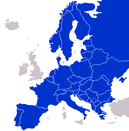
A map of Continental Europe.
| I, the copyright holder of this work, release this work into the public domain. This applies worldwide. In some countries this may not be legally possible; if so: I grant anyone the right to use this work for any purpose, without any conditions, unless such conditions are required by law. |
derivative works
Derivative works of this file: Kontinentet.png

|
This locator map image could be re-created using vector graphics as an SVG file. This has several advantages; see Commons:Media for cleanup for more information. If an SVG form of this image is available, please upload it and afterwards replace this template with
{{vector version available|new image name}}.
It is recommended to name the SVG file “Continental-Europe-map.svg”—then the template Vector version available (or Vva) does not need the new image name parameter. |
File ke itihaas
File ke dekhe khatir, jaise uu time dekhe me lagat rahaa, date/time pe click karo.
| Din/Time | Chhota chapa | Lambai aur chaurai | Sadasya | Tiprrin | |
|---|---|---|---|---|---|
| abhi waala | 01:47, 8 Saptambar 2023 | | 415 × 422 (12 KB) | Sariyr | Exit Vendsyssel-Thy (Denmark) |
| 08:06, 18 Julai 2009 |  | 415 × 422 (14 KB) | Hoshie | redid Kosovo/Montenegro borders based on Cradel's older map; anti-alasing has been removed. | |
| 10:18, 27 Saptambar 2008 |  | 415 × 422 (14 KB) | Hoshie | readded Kosovo in a different way. See talk. | |
| 03:18, 25 Saptambar 2008 |  | 415 × 422 (14 KB) | Hoshie | added Montenegro and fix the tripoint between Albania, Serbia/Kosovo and Montenegro | |
| 15:40, 16 Saptambar 2008 |  | 415 × 422 (10 KB) | Tocino | Reverted to version as of 00:00, 16 September 2008 | |
| 10:06, 16 Saptambar 2008 |  | 415 × 422 (10 KB) | Cradel | Reverted to version as of 20:45, 15 September 2008 | |
| 00:00, 16 Saptambar 2008 |  | 415 × 422 (10 KB) | Tocino | Reverted to version as of 17:25, 15 September 2008 | |
| 20:45, 15 Saptambar 2008 |  | 415 × 422 (10 KB) | Cradel | Reverted to version as of 11:56, 14 September 2008 | |
| 17:25, 15 Saptambar 2008 |  | 415 × 422 (10 KB) | Tocino | Reverted to version as of 14:24, 12 January 2008 | |
| 11:56, 14 Saptambar 2008 |  | 415 × 422 (10 KB) | Cradel | fix |
File ke kaise kaam me lawa gais hae
Ii file ke koi panna kaam me nai laae hai.
Global file usage
Ii aur duusra wiki ii file ke use kare hai:
- ar.wikipedia.org pe upyog
- az.wikipedia.org pe upyog
- bs.wikipedia.org pe upyog
- ca.wikipedia.org pe upyog
- ckb.wikipedia.org pe upyog
- da.wikipedia.org pe upyog
- de.wikipedia.org pe upyog
- en.wikipedia.org pe upyog
- eo.wikipedia.org pe upyog
- es.wikipedia.org pe upyog
- eu.wikipedia.org pe upyog
- fa.wikipedia.org pe upyog
- fi.wikipedia.org pe upyog
- fo.wikipedia.org pe upyog
- gl.wikipedia.org pe upyog
- hy.wikipedia.org pe upyog
- id.wikipedia.org pe upyog
- is.wikipedia.org pe upyog
- it.wikipedia.org pe upyog
- ja.wikipedia.org pe upyog
- kk.wikipedia.org pe upyog
- ko.wikipedia.org pe upyog
- nl.wikipedia.org pe upyog
- nn.wikipedia.org pe upyog
- pl.wikipedia.org pe upyog
- pt.wikipedia.org pe upyog
- ro.wikipedia.org pe upyog
- ru.wikipedia.org pe upyog
- sco.wikipedia.org pe upyog
- sv.wikipedia.org pe upyog
- th.wikipedia.org pe upyog
- tr.wikipedia.org pe upyog
- uk.wikipedia.org pe upyog
- www.wikidata.org pe upyog