
file:Mozambique location map.svg

Size of this PNG preview of this SVG file: 398 × 599 pixels. Duusra resolutions: 159 × 240 pixels | 319 × 480 pixels | 510 × 768 pixels | 680 × 1,024 pixels | 1,360 × 2,048 pixels | 1,134 × 1,707 pixels.
Original file (SVG file, naam kare ke khatir 1,134 × 1,707 pixels, file size: 659 KB)
Sanchhipt me
| Baare me |
Deutsch: Positionskarte von Mosambik
Quadratische Plattkarte, N-S-Streckung 105 %. Geographische Begrenzung der Karte:
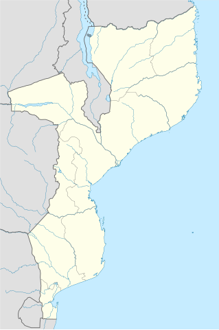
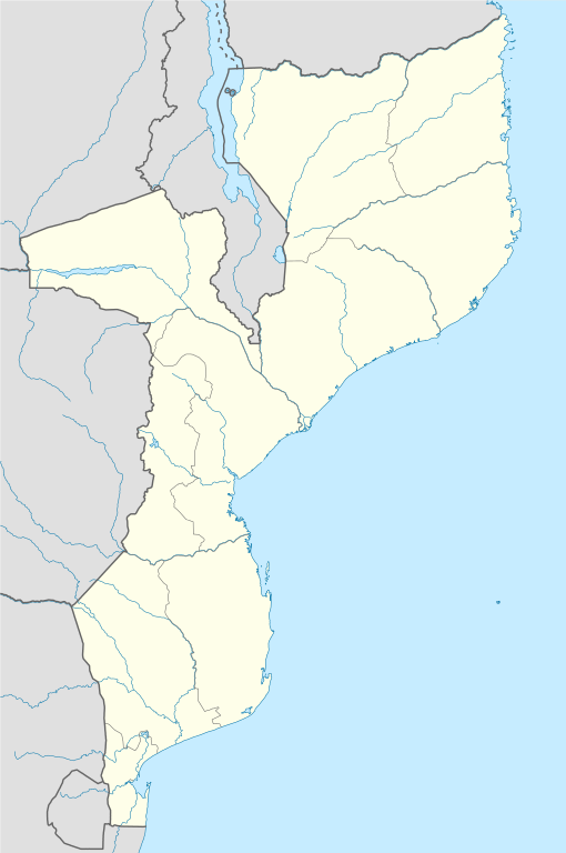
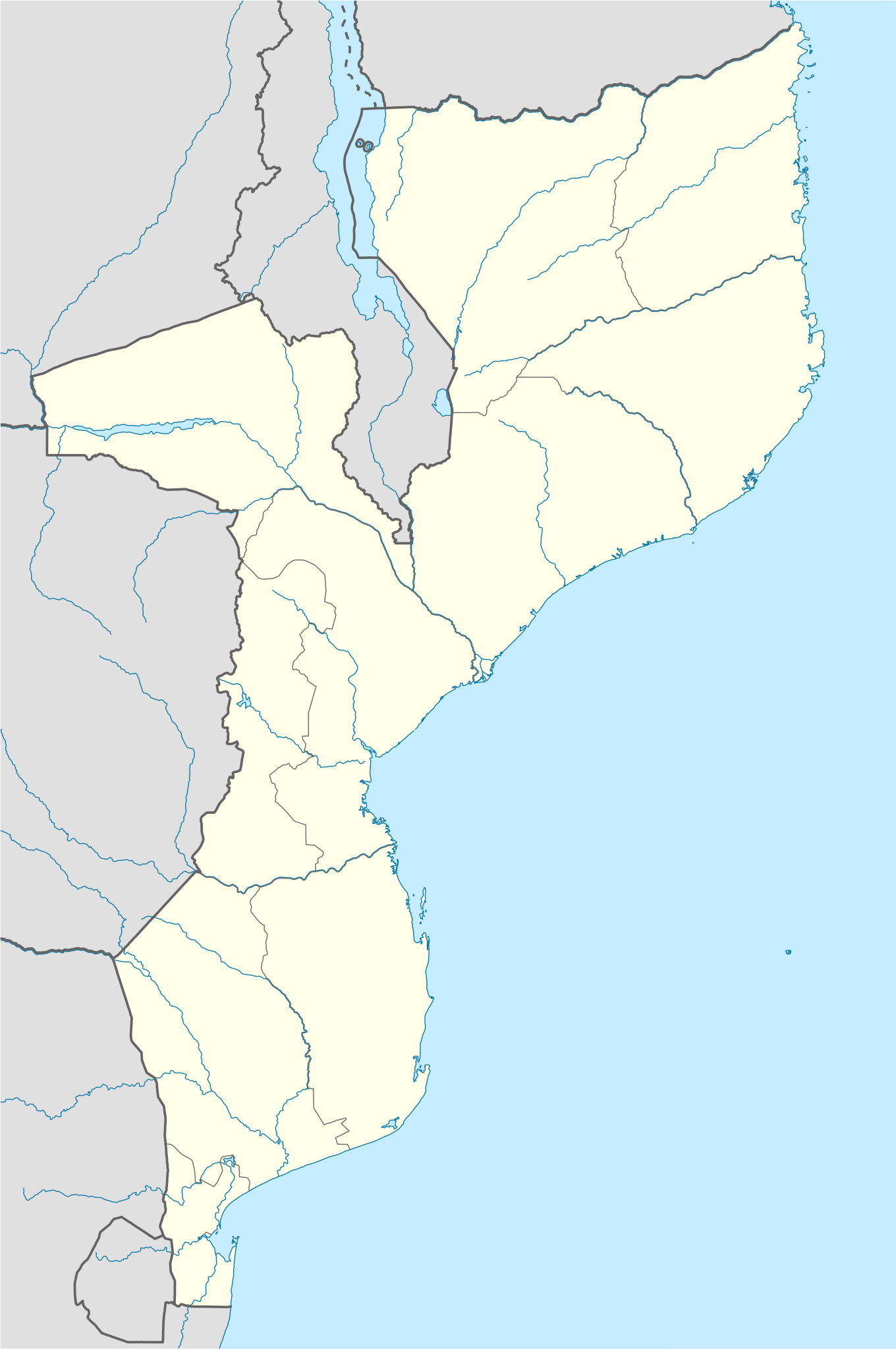
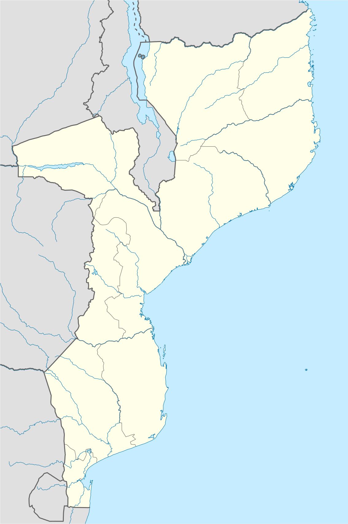
English: Location map of Mozambique
Equirectangular projection, N/S stretching 105 %. Geographic limits of the map:
|
| Taarik | |
| Source |
own work, using
|
| Likhe waala | NordNordWest |
| Other versions |
|


|
This map has been made or improved in the German Kartenwerkstatt (Map Lab). You can propose maps to improve as well.
|
Licence ke baare me
I, the copyright holder of this work, hereby publish it under the following licenses:

|
Ijaajat dewa jaae hae ii document ke copy, distribute aur kare ke,under the terms of the GNU Free Documentation License, Version 1.2 or any later version published by the Free Software Foundation; with no Invariant Sections, no Front-Cover Texts, and no Back-Cover Texts. A copy of the license is included in the section entitled GNU Free Documentation License. |
ii file ke Creative Commons Attribution-Share Alike 3.0 Unported license ke niche licence karaa gais hai.
- You are free:
- share kare ke khaatir – to copy, distribute and transmit the work
- to remix – to adapt the work
- II condition ke niiche:
- attribution – Aap ke thiik credit de ke chaahi, licence pe jorr de ke chaahi, aur badlao ke dekhae ke chaahi. Aap iske koi reasonable manner me kare saktaa hai lekin aise nai ki lage ki licensor aap ke, nai to aap ke kaam ke endorse kre hai
- share alike – Agar aap milaata hai, badaltaa hai, nai to material pe jorrtaa hai, tab aap ke aapan yogdaan ke same or compatible license ke niche baate kare kae chaaahi.
Aap aapan pasand ke licence ke chune saktaa hai.
File ke itihaas
File ke dekhe khatir, jaise uu time dekhe me lagat rahaa, date/time pe click karo.
| Din/Time | Chhota chapa | Lambai aur chaurai | Sadasya | Tiprrin | |
|---|---|---|---|---|---|
| abhi waala | 20:30, 3 Maach 2020 | | 1,134 × 1,707 (659 KB) | Sémhur | Adding Tanzanian border claim (from https://www.nbs.go.tz/index.php/en/census-surveys/gis/385-2012-phc-shapefiles-level-one-and-two) |
| 19:28, 27 Actobar 2008 |  | 1,134 × 1,707 (654 KB) | NordNordWest | {{Information |Description= {{de|Positionskarte von Mosambik}} Quadratische Plattkarte, N-S-Streckung 105 %. Geographische Begrenzung der Karte: * N: 10.2° S * S: 27.4° S * W: 29.8° O * O: 41.8° O {{en|Location map of [[:en:Mozambique |
File ke kaise kaam me lawa gais hae
Niche ke panna kaam me laae hai ii file ke:
Global file usage
Ii aur duusra wiki ii file ke use kare hai:
- af.wikipedia.org pe upyog
- am.wikipedia.org pe upyog
- ar.wikipedia.org pe upyog
- az.wikipedia.org pe upyog
- ba.wikipedia.org pe upyog
- be-tarask.wikipedia.org pe upyog
- be.wikipedia.org pe upyog
- bg.wikipedia.org pe upyog
- bn.wikipedia.org pe upyog
- bs.wikipedia.org pe upyog
- ce.wikipedia.org pe upyog
- ckb.wikipedia.org pe upyog
- cs.wikipedia.org pe upyog
- da.wikipedia.org pe upyog
- de.wikipedia.org pe upyog
- de.wikivoyage.org pe upyog
- dsb.wikipedia.org pe upyog
Ii file ke more global usage kedekho.