
file:Rivieren 4.46933E 51.88083N.jpg

Ii preview ke size: 800 × 599 pixels Duusra resolutions: 320 × 240 pixels | 640 × 479 pixels | 1,024 × 766 pixels | 1,280 × 958 pixels.
Original file (1,280 × 958 pixel, file ke size: 191 KB, MIME type: image/jpeg)
Sanchhipt me
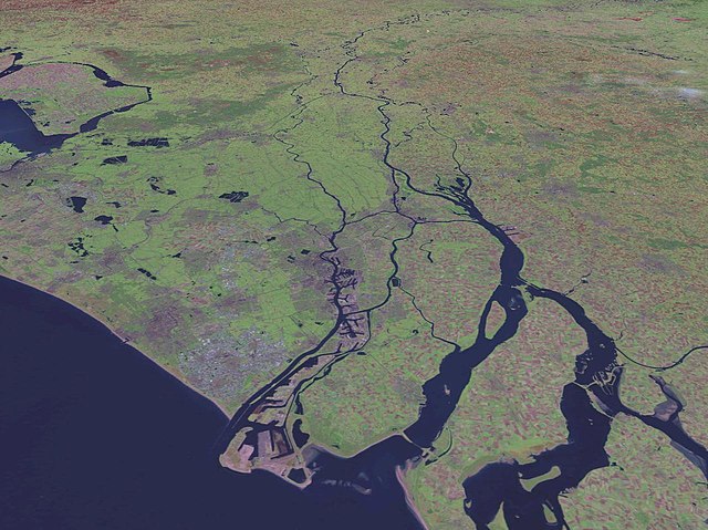
| Baare me | Satellite pictures of the Netherlands |
| Source | NASA World Wind screenshot. |
| Likhe waala | NASA World Wind |
| Other versions |
|
Licence ke baare me
| This image is in the public domain because it is a screenshot from NASA’s globe software World Wind using a public domain layer, such as Blue Marble, MODIS, Landsat, SRTM, USGS or GLOBE.
|
 |
File ke itihaas
File ke dekhe khatir, jaise uu time dekhe me lagat rahaa, date/time pe click karo.
| Din/Time | Chhota chapa | Lambai aur chaurai | Sadasya | Tiprrin | |
|---|---|---|---|---|---|
| abhi waala | 15:39, 18 Maach 2018 | | 1,280 × 958 (191 KB) | Mar(c) | Reverted to version as of 18:58, 15 May 2005 (UTC): aerial view with perspective, not suited for rotation |
| 18:01, 2 August 2017 |  | 944 × 1,280 (190 KB) | SteinsplitterBot | Bot: Image rotated by 90° | |
| 18:58, 15 Mai 2005 |  | 1,280 × 958 (191 KB) | Rex | NASA World Wind screenshot. {{PD-USGov-NASA}} Category:Maps of the Netherlands |
File ke kaise kaam me lawa gais hae
Niche ke panna kaam me laae hai ii file ke:
Global file usage
Ii aur duusra wiki ii file ke use kare hai:
- bg.wikipedia.org pe upyog
- bs.wikipedia.org pe upyog
- ca.wikipedia.org pe upyog
- cs.wikipedia.org pe upyog
- da.wikipedia.org pe upyog
- de.wikipedia.org pe upyog
- dsb.wikipedia.org pe upyog
- en.wikipedia.org pe upyog
- eo.wikipedia.org pe upyog
- fr.wikipedia.org pe upyog
- fy.wikipedia.org pe upyog
- he.wikipedia.org pe upyog
- hsb.wikipedia.org pe upyog
- hu.wikipedia.org pe upyog
- it.wikipedia.org pe upyog
- ja.wikipedia.org pe upyog
- ko.wikipedia.org pe upyog
- ku.wikipedia.org pe upyog
- mt.wikipedia.org pe upyog
- nds-nl.wikipedia.org pe upyog
- nl.wikipedia.org pe upyog
- nn.wikipedia.org pe upyog
- nrm.wikipedia.org pe upyog
- pl.wikipedia.org pe upyog
- pms.wikipedia.org pe upyog
- pt.wikibooks.org pe upyog
- roa-tara.wikipedia.org pe upyog
- sh.wikipedia.org pe upyog
- simple.wikipedia.org pe upyog
- sr.wikipedia.org pe upyog
- sv.wikipedia.org pe upyog
- sw.wikipedia.org pe upyog
- uk.wikipedia.org pe upyog
- www.wikidata.org pe upyog
- zh.wikipedia.org pe upyog