
file:Europe location.png

Ii preview ke size: 800 × 600 pixels Duusra resolutions: 320 × 240 pixels | 640 × 480 pixels | 1,024 × 768 pixels | 1,280 × 960 pixels | 1,600 × 1,200 pixels.
Original file (1,600 × 1,200 pixel, file ke size: 420 KB, MIME type: image/png)

|
This locator map image could be re-created using vector graphics as an SVG file. This has several advantages; see Commons:Media for cleanup for more information. If an SVG form of this image is available, please upload it and afterwards replace this template with
{{vector version available|new image name}}.
It is recommended to name the SVG file “Europe location.svg”—then the template Vector version available (or Vva) does not need the new image name parameter. |
| Baare me |
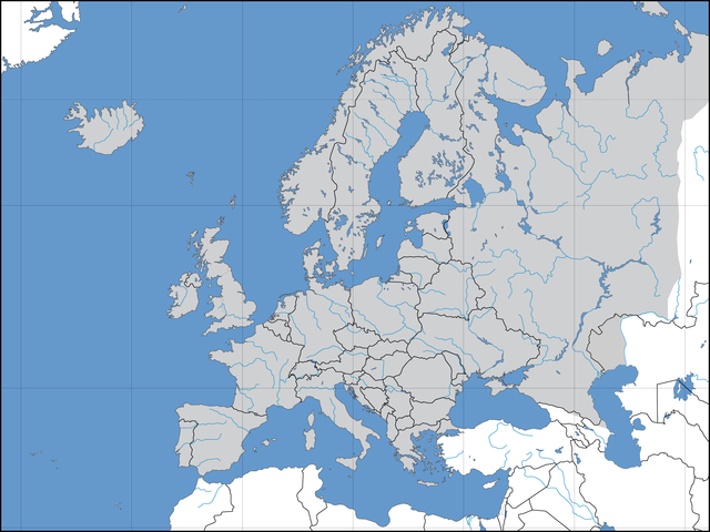
Deutsch: Politische Karte des Kontinents Europa. Leere Lagekarte zur Darstellung der Lage von Staaten in Europa. Europa ist grau hervorgehoben. |
||||||||
| Taarik | 02.09.2006 | ||||||||
| Source | Aapan kaam | ||||||||
| Likhe waala | David Liuzzo | ||||||||
| Adhikaar (Ii file ke fir se kaam me laawa jaae hai) |
I, the copyright holder of this work, hereby publish it under the following licenses:
This file is licensed under the Creative Commons Attribution-Share Alike 2.0 Germany license.
 Aap aapan pasand ke licence ke chune saktaa hai. |
||||||||
| Other versions | Derivative works of this file: Convoy Faith route July 1943.png |

| Annotations | This image is annotated: View the annotations at Commons |
File ke itihaas
File ke dekhe khatir, jaise uu time dekhe me lagat rahaa, date/time pe click karo.
| Din/Time | Chhota chapa | Lambai aur chaurai | Sadasya | Tiprrin | |
|---|---|---|---|---|---|
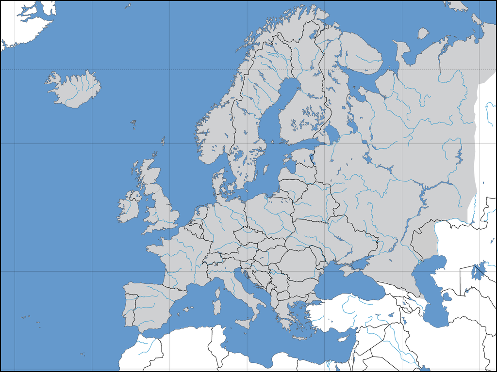
| abhi waala | 12:40, 8 August 2022 | | 1,600 × 1,200 (420 KB) | Рагин1987 | More correct visualization of the dividing line on the territory of the Caucasus Range |
| 15:50, 31 Mai 2015 |  | 1,600 × 1,200 (223 KB) | Cmdrjameson | Compressed with pngout. Reduced by 101kB (31% decrease). | |
| 20:39, 21 Julai 2008 |  | 1,600 × 1,200 (325 KB) | ShakataGaNai | Reverted to version as of 23:32, 9 May 2008 | |
| 14:52, 21 Julai 2008 |  | 1,600 × 1,200 (323 KB) | European Boy~commonswiki | {{Information |Description= |Source= |Date= |Author= |Permission= |other_versions= }} | |
| 23:32, 9 Mai 2008 |  | 1,600 × 1,200 (325 KB) | Solestin~commonswiki | correction of Ural border | |
| 20:59, 17 Actobar 2006 |  | 1,600 × 1,200 (444 KB) | David Liuzzo | Correction; Same licensing applies. | |
| 23:00, 3 Saptambar 2006 |  | 1,600 × 1,200 (108 KB) | David Liuzzo | {{Information| |Description={{de|Politische Karte des Kontinents Europa. Leere Lagekarte zur Darstellung der Lage von Staaten in Europa. Europa ist grau hervorgehoben.}} |Source= Own Work |Date= 02.09.2006 |Author= David Liuzzo |Perm |
File ke kaise kaam me lawa gais hae
Niche ke panna kaam me laae hai ii file ke:
Global file usage
Ii aur duusra wiki ii file ke use kare hai:
- af.wikipedia.org pe upyog
- ary.wikipedia.org pe upyog
- az.wikipedia.org pe upyog
- be-tarask.wikipedia.org pe upyog
- be.wikipedia.org pe upyog
- bn.wikipedia.org pe upyog
- cv.wikipedia.org pe upyog
- de.wikipedia.org pe upyog
- Volleyball-Europameisterschaft der Frauen 2005
- Benutzer:JagielloXXwieku
- Volleyball-Europameisterschaft der Männer 2005
- Volleyball-Europameisterschaft
- Vorlage:Navigationsleiste Volleyball-Europameisterschaften
- Volleyball-Europameisterschaft der Männer 2007
- Volleyball-Europameisterschaft der Frauen 2007
- Volleyball-Europameisterschaft der Frauen 2009
- Beachvolleyball-Europameisterschaft
- Benutzer:T.D.Rostock/WM 2007
- Speedway-Weltmeisterschaft 2007
- Volleyball-Europameisterschaft der Männer 2009
- Volleyball-Europameisterschaft der Männer 1948
- Volleyball-Europameisterschaft der Männer 1950
- Volleyball-Europameisterschaft der Männer 1951
- Volleyball-Europameisterschaft der Männer 1955
- Volleyball-Europameisterschaft der Männer 1958
- Volleyball-Europameisterschaft der Männer 1963
- Volleyball-Europameisterschaft der Männer 1967
- Volleyball-Europameisterschaft der Männer 1971
- Volleyball-Europameisterschaft der Männer 1975
- Volleyball-Europameisterschaft der Männer 1977
- Volleyball-Europameisterschaft der Männer 1979
- Volleyball-Europameisterschaft der Männer 1981
- Volleyball-Europameisterschaft der Männer 1983
- Volleyball-Europameisterschaft der Männer 1985
- Volleyball-Europameisterschaft der Männer 1987
- Volleyball-Europameisterschaft der Männer 1989
- Volleyball-Europameisterschaft der Männer 1991
- Volleyball-Europameisterschaft der Männer 1993
Ii file ke more global usage kedekho.